Author Rick Charette,
Photographer Jason Chen, peellden, Lisanto, @inkdrinker15
An avid hiker based in Taipei who happens to have worked in travel publishing as an editor (and writer) for over two decades, I here respectfully present for your consideration the trails I think you’ll find most enjoyable while discovering Taipei.
This densely populated city is blessed with refreshing nature getaways, sitting in a basin surrounded by mountains all quick-accessed via public transport, laced with scenic hiking trails short and long, simple and challenging, per your taste. They are well signposted, are doable as day trips (including travel to and from the downtown core), and don’t require significant hiking experience or a high level of fitness. Let’s head out!
1. Mt. Chihisingshan Main Peak Hiking Trail (七星山主峰步道)
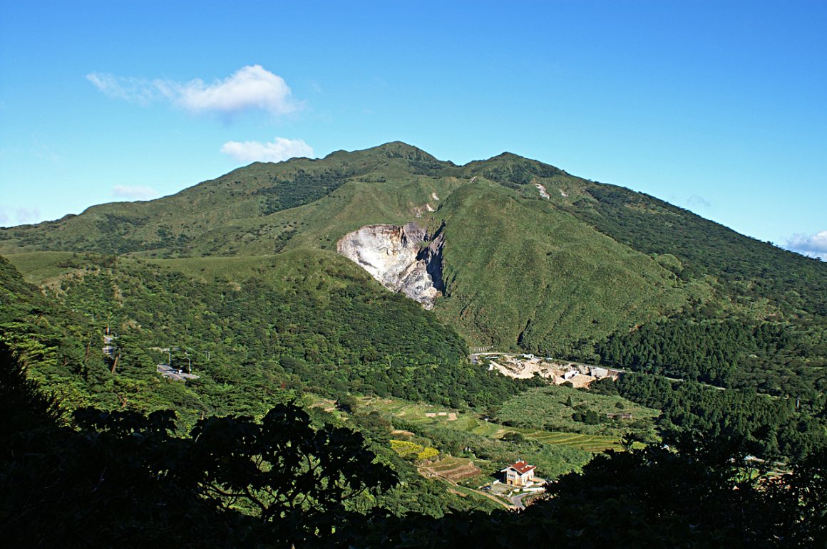
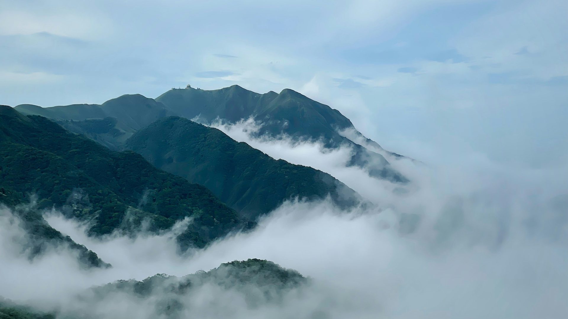
Gorgeous, sprawling Yangmingshan National Park, the crown jewel of Taipei’s natural beauties, occupies the top of the mighty Yangmingshan massif on the city’s north side, a world of long-dormant volcanoes, hot springs, fumaroles, and sulfur pits. Mt. Chihsingshan (Seven Star Mountain) is the city’s highest point, at 1,120m. Conquering the Main Peak, you’re rewarded with riveting 360-degree views of the metropolis spread out to the south, peaks of the central mountains running south far beyond, and the rugged, whitecap-washed north coast and mighty steel-blue Pacific on the north. The peak is a tall, narrow column-like jumble of andesite boulders – cooled magma that did not escape the volcano vent here, exposed by erosion of the surrounding softer rock.
Three trails lead up from different tourist attractions, each about 2.2km to the top – from Xiaoyoukeng (“Small Oil Depression”) on the northwest, by the park’s visitor center on the southwest, and by Lengshuikeng (“Cold Water Depression”) on the southeast. There are long stone-slab and stepped sections, with steep grades at some points lightly demanding on knees.
2. Menghuan Pond Trail / Lengqing Trail / Qingtiangang Trail Combo ( 夢幻湖步道 / 冷擎步道 / 擎天崗環形步道)
These interconnected trails are at the base on Mt. Qixing’s east side. The trio can be easily conquered in a day with a morning start. The 2.2km Menghuan Pond Trail(夢幻湖步道) loop route begins by the Lengshuikeng Visitor Center(冷水坑遊客服務站) and takes you up-mountain a little ways to Menghuan Pond, bringing you back down a few hundred meters north of your starting point. The first section, staired and steepest, is shared with the aforementioned Mt. Qixing Trail. Menghuan Pond is an important wetland, the heart of Yangmingshan’s smallest eco-protected area.
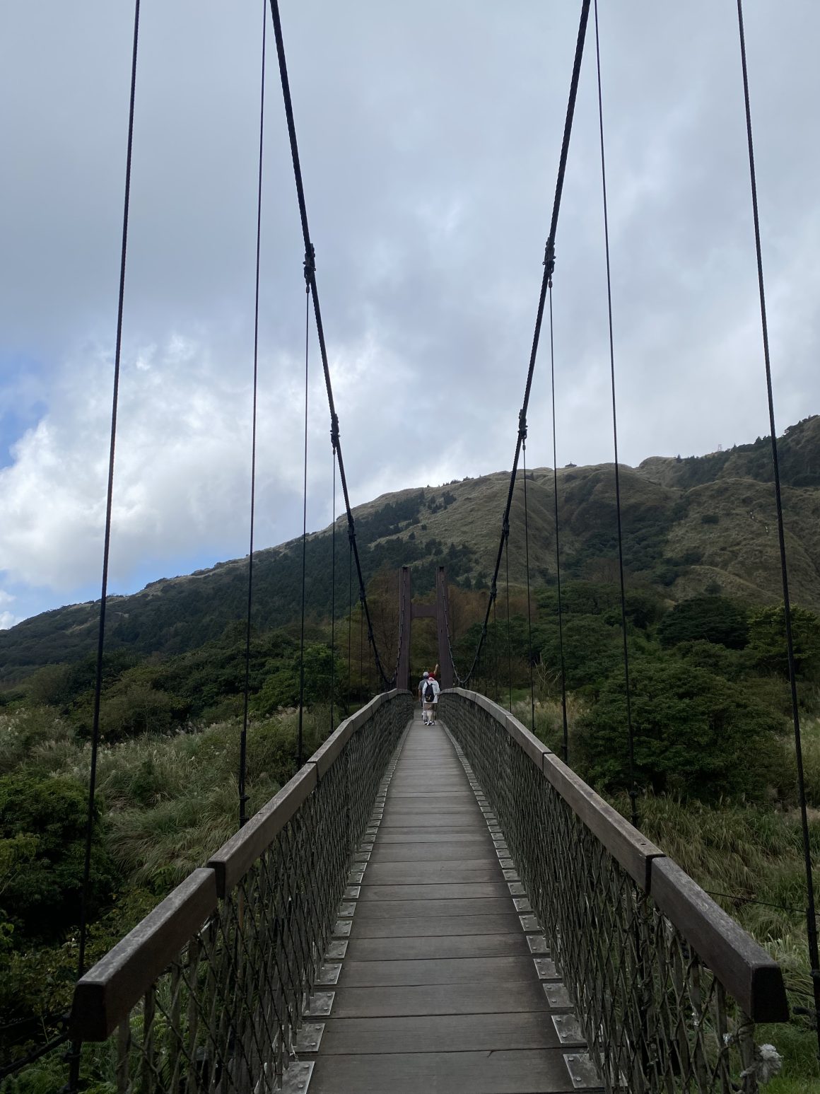
The easy-grade 1.8km Lengqing Trail extends from the visitor center east to the Qingtiangang Grassland. Lengshuikeng(冷水坑) was formed when volcanic lava created the saddle-shaped Qingtiangang plateau, damming a sulfur stream that still pours off Mt. Qixing, providing cold mineral waters. The barrier lake long ago dried up, leaving small bodies of water. There are free public bathing facilities here, perfect for post-hike rejuvenation. Trail highlights include the white, sulfur-laden Milk Pond, pedestrian-only heritage Jingshan Suspension Bridge(菁山吊橋), and Lengshuikeng Ecological Pond(冷水坑生態池), thick with aquatic plants.
The 2.4km, friendly-grade Qingtiangang Circular Trail starts/ends at Qingtiangang’s visitor center. A renowned grassland walkabout highlight is the grazing semi-feral water buffalo; the Japanese established a ranch here during their period of colonial rule (1895-1945). Qingtiangang is part of the Yulu “Fish Road” Historical Trail(魚路古道); this imperial-era pathway was used by north coast fish traders to haul their goods cross-mountain to Taipei’s Shilin area.
3. Xiangshan Hiking Trail / Four Beasts Hiking Trail (象山步道 / 四獸山步道)
Laid out east to west directly south of the skyscraping Taipei 101 tower is a conjoined series of low “mountains” collectively called Four Beasts Mountain(四獸山), embroidered with very easy, much-used trails that feature multitudinous stepped sections. The most popular is Xiangshan(象山; Elephant Mountain) Hiking Trail, about 1.5km up and back. The mountain, shape said to resemble the pachyderm, is just 183m high.
Your reward for the ascent is a spectacular iconic close-in view of Xinyi District’s Taipei 101 and neighboring skyscraper artworks and of the architecture-dense Taipei Basin. You’ll find photographers set up day and night around boulders called the Six Giant Rocks at the exposed-sandstone peak, where platforms have been set up.
The other Four Beasts’ animal-shaped peaks are Tiger Mountain (虎山), Lion Mountain (獅山), and Leopard Mountain (豹山). Right in behind these, also officially part of Four Beasts Mountain, slightly higher in elevation and less traveled and providing even better city-core photos, are (east-west) 9-5 Peak, Nangang Mountain(南港山), and Thumb Mountain(拇指山). The well-developed interconnecting trail system, collectively called the Four Beasts Hiking Trail, has stone-paved pathways, night lighting, rest stops and pavilions, photography platforms, even water fountains and restrooms.
Klook.com4. Camphor Tree and Zhanghu Trails Loop(樟樹樟湖環狀步道)
(Photo・@inkdrinker15)
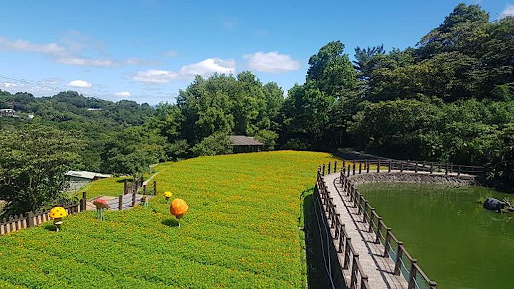
The Maokong tourist tea farms area(貓空觀光茶園), specializing in Oolong(烏龍) and Tieguanyin(鐵觀音) cultivation, is in the low mountains in Taipei’s south, in Wenshan District(文山區). Most visitors experience the area by sitting down at one of the many quality rustic teahouses or tea-cuisine restaurants. For a more intimate encounter, hike the Camphor Tree and Zhanghu Trails Loop – your post-hike reward of course being a sit-down at one of the just-mentioned establishments, all of which serve up splendid scenic views.
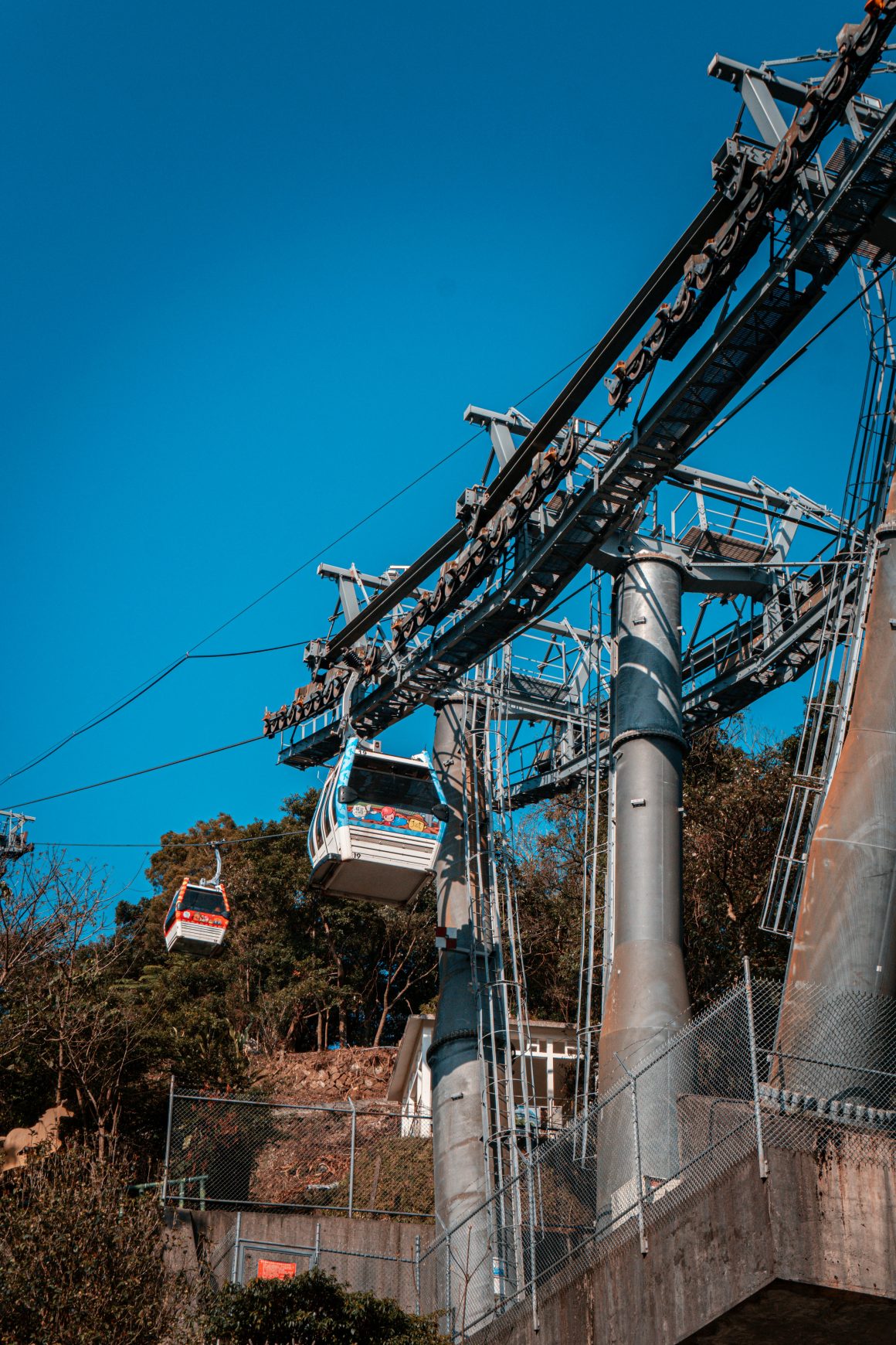
The loop’s start/end is near the Maokong Gondola’s Maokong Station. The gently undulating, stone-paved Camphor Tree Trail takes you right through mountainside farms, and the Zhanghu Trail runs along/just below the ridgeline above the farms. The former trail, about 1.5km long with limited shade, is a walk through the local farming world of bygone days, with facilities such as old-time pigsties, granaries, fish ponds, and charcoal kilns on display, and century-old clay-brick farmhouses passed. The latter trail, which is about 1.7km and is stone/cement-paved, has abundant tree shade and moderately strenuous ups and downs and delivers you to grand vistas over the slope-hugging tea farms below and Taipei 101 far off. In days past this was the trail used for connection with the Taipei Basin for the transport of tea leaves products and other trade goods. (Read more: A Day Trip to the nearest tea plantation from Taipei )
Klook.com5. Jiantanshan Hiking Trail (劍潭山步道)
This trail in the Dazhi neighborhood starts by The Grand Hotel and moves northeasterly along a ridgeline, highest point 206m above sea level, coming down west of Shih Chien University. Superbly photogenic views looking south over the Taipei Basin are provided, and on clear days the Tamsui River estuary can be seen to the north from spots. Heavily forested, this was long an off-limits protected military area. The trail is about 3.3km long, and features a steep staired ascent/descent. Stone-paved much of its length, there are wood-built staircases on the eastern section.
There are two trailheads by The Grand Hotel, one to its northwest and one in the rear of the hotel complex. On the way up you pass by small temples and, incongruously, forest-cover badminton courts and, quite likely, seniors engaged in karaoke singing and group exercise, in a type of “outdoor living room/gym.” Along the ridge, you’ll come across abandoned military facilities. The trail highlight is the Old Place Plane Spotting Platform, with a sweeping 180-degree panorama that strikes the viewer as a giant 3D mock-up of the city, “miniature” planes taking off and landing at Songshan Airport, the Keelung River flowing by, and Taipei 101, the Miramar Ferris Wheel, Four Beasts Mountain, and other iconic landmarks looking like model-set creations.

