Text: Rick Charette
Photos: Chen Cheng-kuo
Sun, surf, thriving tribal cultures, stupendous geological artwork, and… well, read on.
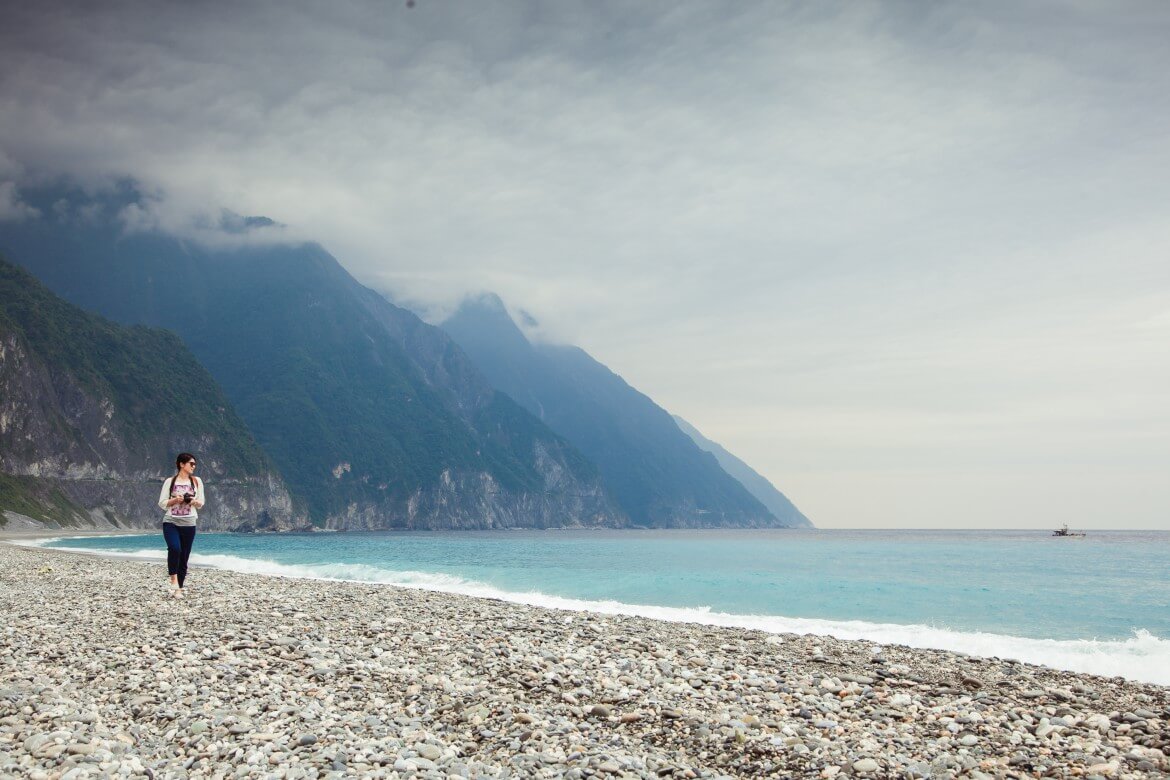
Hualien County is a powerful place. Nature is master, man mere spectator, despite oft thinking otherwise. Though just a few score kilometers away from the west coast as the eagle flies, Taiwan’s Hawaii-like coastal Hualien “secret garden” could not be further away from its industrial side.
Island Taiwan’s thick back of soaring mountains allows just two narrow, long strips of flat land to exist on the east coast, stretching from Hualien into Taitung County and being separated by the Coastal Mountain Range. One, the East Rift Valley (花東縱谷), is carpeted with neat, bright-vegetation farms. The other, the exceedingly narrow sea strip, tirelessly serenaded by the pounding chant of Pacific breakers, is the subject of this article. We’re headed on a 3-day sampler trip for you from the north point where the central mountains literally plunge into the sea to the point where Hualien County meets Taitung County.
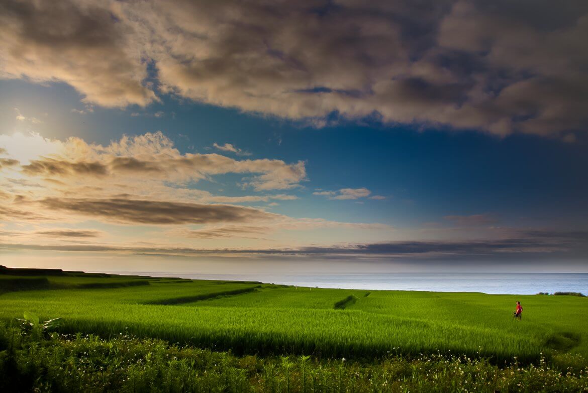
Day 1
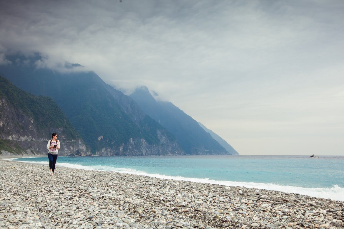
North of Hualien City, iconic Taroko Gorge (太魯閣峽谷) is one of Taiwan’s most popular tourist attractions, and certainly the island’s most spectacular natural attraction. Not far behind in awe-inspiring allure, and an immediate neighbor in physical terms, is the magnificent coastal Qingshui Cliff (清水斷崖). The Eurasian and Philippine Sea tectonic plates have long been locked in an almighty tussle for dominance, literally throwing up geologically still soaring Taiwan from the ocean bottom, and as part of this titanic wrestling match throwing up the mighty 1,000m-high Qingshui Cliff along a fault line that defines the east coast directly north of Taroko Gorge. (Read more : Gorge Soaring – The Views of Eagles along Taroko Gorge’s Trails)
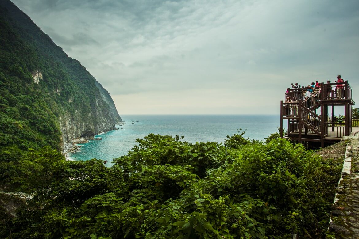
Stretching over 20km, the stunningly picturesque coastal highway snakes along its base. On this trip we visited a number of the lookouts that tourism authorities have set up on old highway sections where tunnels have been punched through jutting cliff sections, as well as one of the long, wonderfully photogenic beaches.
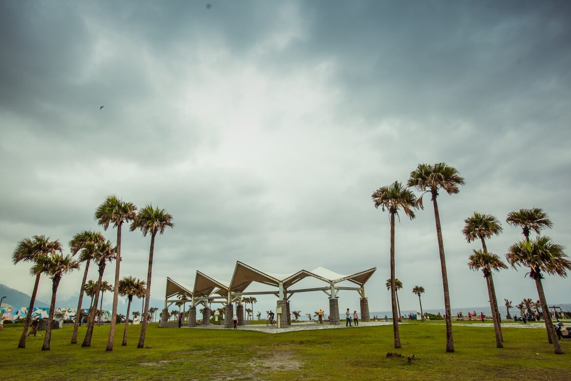
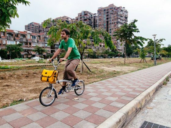
Qixingtan (七星潭) is a landscaped area immediately north of Hualien City. The name means “Seven Star Lake,” but this is in fact a lovely arcing bay of crystalline blue-green Pacific waters, invariably made even more photo-friendly by local fishermen busy on their craft close inshore. The bay’s north end is the north terminus of a breezy seaside bike path stretching 21km to Nanbin Park on Hualien City’s south side. There are bike-rental stations near the bay’s north and south ends. Among the many other facilities are the Stone Sculpture Park, Star Watching Plaza, Sunrise Building (Qixingtan’s sunrises are renowned), children’s playground, and seaside botanical garden. At bikeway-side are signboards explaining the seaside ecology, many with English. Another key draw is the terrific camera-perfect view of distant Qingshui Cliff. (Read also: Taroko Gorge in A Day)

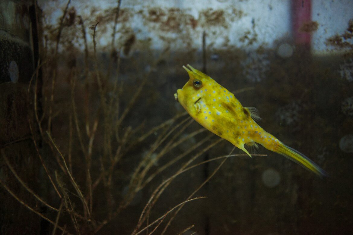
Most of Qixingtan’s tourist-service enterprises are in tiny, compact Dahan Village (大漢村), toward the bay’s south tip. These include a bike-rental outlet and places by the village’s bikeway-boardwalk section where you can get ice cream, sit down to a coffee, and even have a light meal. Also in Dahan is the enjoyable Chihsing Tan Katsuo Museum (七星柴魚博物館), housed in a distinctive low-roofed, wood-built fish-processing factory built in 1984. “Katsuo” is the Japanese name for skipjack tuna, which is dried, fermented, smoked using the wood of the longan tree, and exported to Japan (sometimes bonito is used as a cheaper substitute). The fish is caught in quantity in Qixingtan’s shallow waters – the bay is like a giant fish farm – and the factory was retired in the early 2000s when the industry slowed. Displays I found particularly interesting included a model of the giant multi-section traps still used in the bay, video of the fishermen at work and marine life below, and diorama of the traditional smoking process. The displays have explanations in good English, and guided tours (in Chinese) are offered. There’s also a food court and retail shop with a wide range of fish products (dried-scallop sauce made with XO brandy – super-yummy).
Day 2
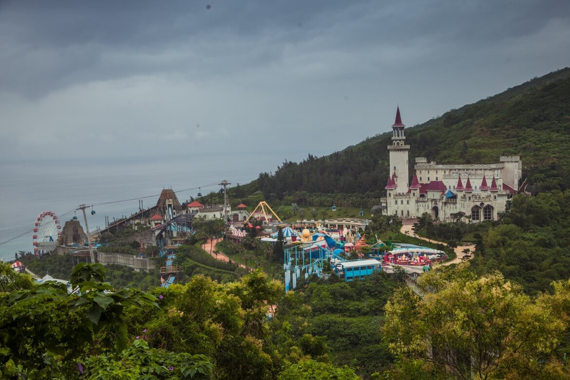
The first major tourist site you come to when traveling south out of Hualien City is Hualien Farglory Ocean Park (花蓮海洋公園). This is the most popular attraction on the Hualien coast, if you discount Taroko Gorge for not being right “on” it. Multi-tiered, built on slopeland directly above the coastline, this place is a heck of a lot of fun, with rides galore and a fairytale castle, underwater world, marine-animal shows, and much else. Something important: Stated management policy is to use show animals saved from unpleasant prospects, not snatched from the wild. Another something important: You can’t do this place justice unless you give it at least half a day.
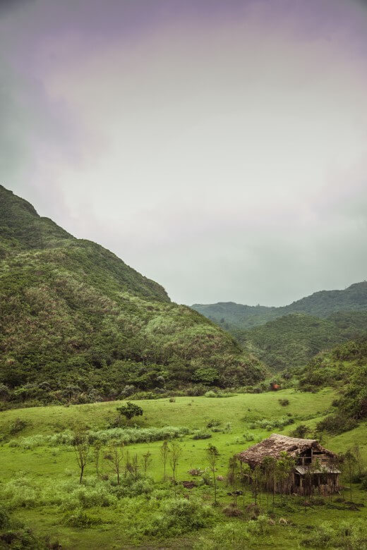
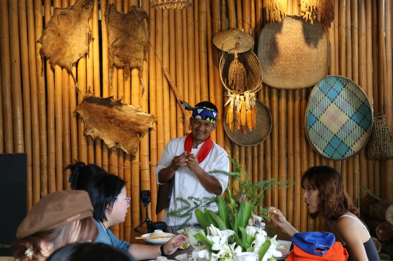
Starchasers (as in “movie stars”) will be especially thrilled to learn about the existence of Niushan (牛山), where legendary director Martin Scorcese, Irish actor Liam Neeson, and other big names recently did shooting for the movie Silence, scheduled for release in 2016. What you’ll find at the end of a steep, narrow, long-grass-brushed road that leads off the here inland-and-upland coastal highway is a long and dramatically fetching arc beach bracketed by mountains that drop into the sea. The only buildings here are right behind the isolated beach – those of the Niushan Huting (牛山呼庭), a combination restaurant, café, bar, homestay, campground complex, owned by members of the Amis tribe, Taiwan’s largest, and beside these a couple of tourist-draw thatch-roof structures from the faux village built for Silence (the rest were being torn down the day we visited). “Niushan” means “cow mountain”; to find the side-road entrance, look for the highway-side “Niushan Huting” sign on a totem pole capped with a steer-head sculpture (26.6km mark).
Readers keen on surfing will be interested to know that, according to Matt of Hualien Outdoors, the east coast’s best is found at the 3km-long, soft-sand Jiqi Beach (磯崎海水浴場), surrounded by mountains on three sides. This is also the first good swimming beach south of Hualien City. On the south end is a beach resort (entry fee) with water- and beach-fun equipment and bungalow/campground accommodation. The Baqi Lookout (芭崎瞭望台), off the highway on the north-side mountain, offers tremendous views north and south.
Day 3
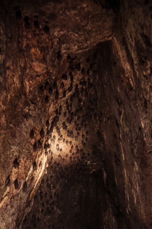
Continuing south along the coastal highway, our next major tourist-site stop was Yuedong (月洞), or Moon Cave (NT$100 entry fee). High up and far in from the coast, the large, approximately 130-meter-long two-chamber cave was formed long ago by sea erosion. Filled with water – the cave is connected to the sea via underground passage, and the water waxes and wanes with the moon, hence its name – members of the Amis tribe, for whom the cave is sacred, take you on a 20-minute boat tour, providing commentary (Chinese) on the large bat colonies, impressive resident eels, stalactite formations, fish and bird’s-nest fossils, Amis mythology, and more.
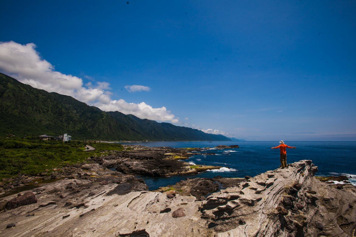
Shitiping (石梯坪). The name means “stone steps.” The dramatically terraced volcanic rock and raised-coral formations here form what looks like a staircase rising out to sea. The sea’s great erosive powers are in visually inspiring evidence here – all about are kettle holes and surging tide pools. The teeming marine life draws fishermen, shellfish collectors, and scuba divers. The distinctive ecology also features such oceanside-adapted plants as screw pine, cactus, and morning glory. There isn’t much shade, so bring water; there’s also ice cream, popsicles, and other cooling goodies available at the visitor center.
Readers keen on whitewater rafting will be happy to know about the organized adventures through the rugged and oft breathtakingly beautiful Xiuguluan River (秀姑巒溪) canyon, cut by the river right through the coastal mountains. You start on the East Rift Valley side at Ruisui (瑞穗) town, and travel 21km (4hrs) over a Class III set of 23 rapids to just before the river’s mouth south of Shitiping. Even if you’ve no time for the water-fun, enjoy the scenery with a drive along the mountainside-hugging highway that connects coast and Ruisui. (Read more : 2-day River Tracing Adventure in Hualien)

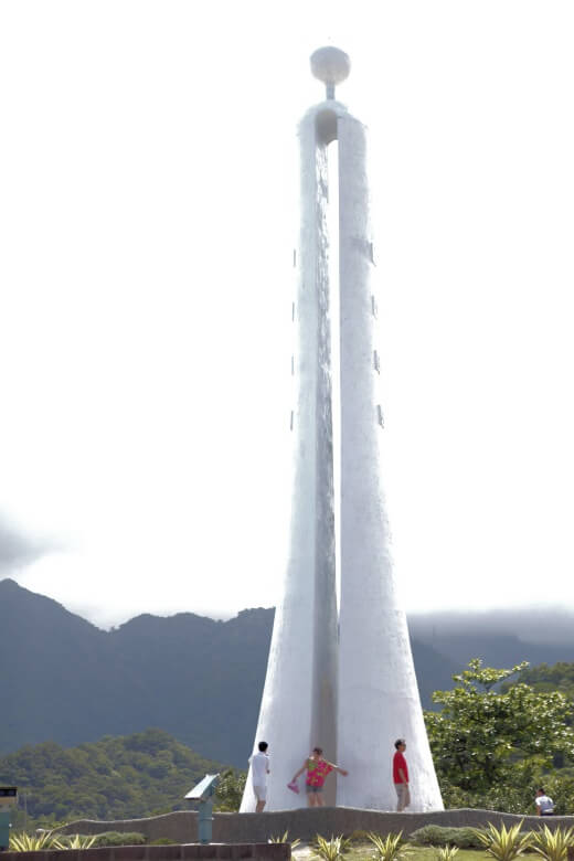
Everyone stops at the soaring, sundial-shaped highway-side Tropic of Cancer Marker (北回歸線碑) to take a quick photo – and so did we. Stand spread-eagled before the obelisk and half of you is in the tropics, half in the subtropics. The tropic is the northern hemisphere’s furthest location from the equator where you can experience the sun directly overhead, with a shadowless noon; you no doubt already knew this, but here’s your spot to prove it for yourself.
Visit the East Coast of Taiwan by joining MyTaiwanTour’s Eastern Beauty 5 Day Tour.
This article was published in Travel in Taiwan magazine (Jul./Aug., 2015)








Comments are closed.