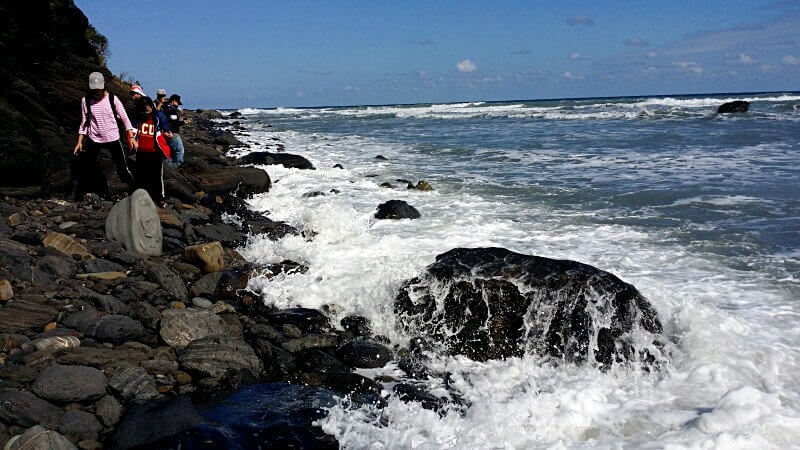
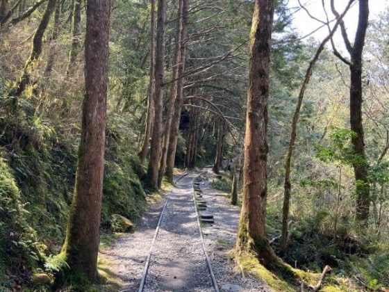
Winter may well be here and the weather across Taiwan is on the decline, but that shouldn’t stop you getting outdoors and being active. The Alangyi Historic Trail (阿塱壹古道) passes through both Taitung and Pingtung counties on Taiwan’s east coast and, due to there being no shade along the way, it is best to tackle this route in winter or early spring before it gets too hot to handle. We’d lean towards early spring due to the threat of the northeast winds (東北季風) during winter, but if you wrap up warm, you should be able to fight off the cold.
Formerly a route frequented by Taiwan’s aboriginal tribes for hunting and trade, the flat seashore made it far easier to transport wood, fish, wild pigs, stones etc., than traversing the forests and deep valleys of its surrounds. Built during the Tongzhi era of the Qing Dynasty, it is the best-preserved ancient trail in Taiwan and was once one of the few roads connecting the east and west of the country. Here’s a quick guide to all things Alangyi Historic Trail. (Read more: Hiking in Taiwan: Forest trails, hot springs, and riding the rails in Taipingshan)
You’ll Need a Permit
Located in an environmental protection area, you’ll need a permit to hike the Alangyi Historic Trail. You can apply for one between eight and 30 days in advance of your visit through the Pingtung County official website at a cost of NT$3,000. The permit covers your group (one group = 1-15 people), so, if there’s more of you, you can split the cost more cheaply. Only 250-300 people are allowed to hike the route per day and you will be required to be joined be a local guide on your trip. You can find more details for application here (Chinese).
The Route
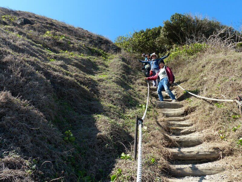
Classified as an “easy walk,” the trail is 8.4km and usually takes 4-5 hours if completed at a leisurely pace, including rest and photography stops. The southern trailhead starts in Xuhai (旭海) in Pingtung, while the northern head is Nantian (南田) in Taitung. You can complete the hike in either direction, with south to north leaving the best views until the backend of the hike and north to south usually resulting in the wind being at your back. (Read also: An Afternoon at Elephant Mountain)
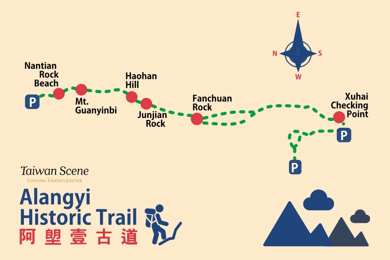
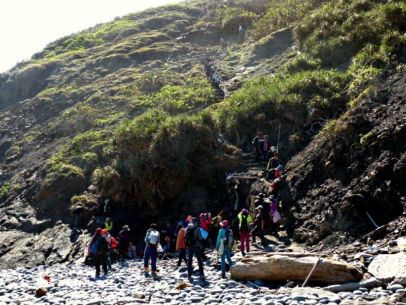
The south to north route looks like this: Xuhai Checking Point (旭海安檢所)→Fanchuan Rock (帆船石)→Junjian Rock (軍艦岩)→Haohan Hill (好漢坡)→Mt. Guanyinbi (觀音鼻山)→Nantian Rock Beach (南田礫灘).
Scenery
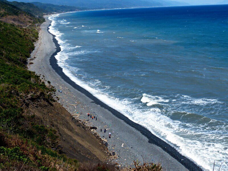
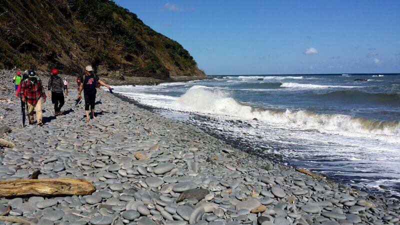
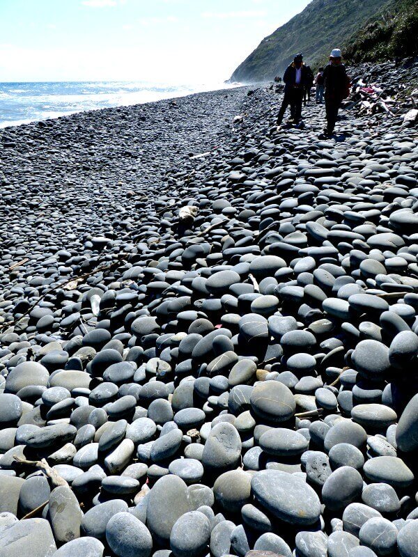
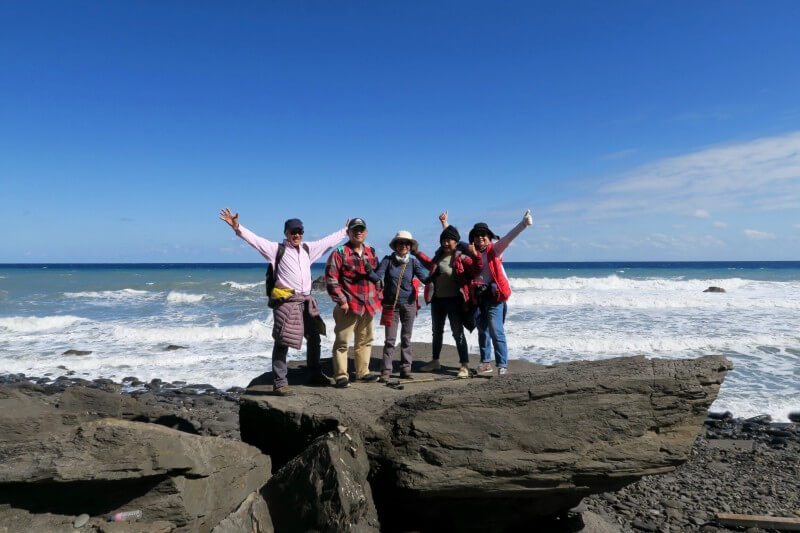
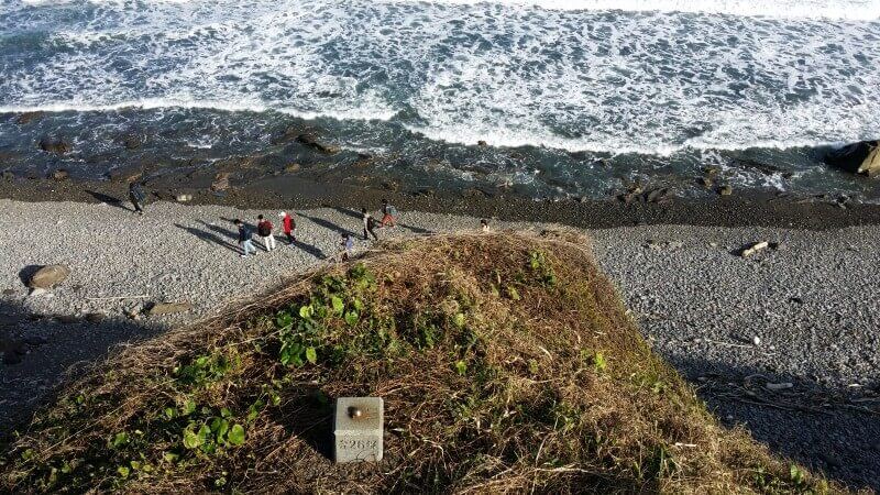
There is much beauty to absorb along this pleasant hike. After passing the Tawa River, which acts as the border between Pingtung and Taitung, you will reach a pebble beach, where it is popular to stack stones into small towers, considered by locals to be an act of blessing. Along the way you will also have incredible views of the vast expanses of the Pacific Ocean, as well as stunning mountains. Both of these, along with the trail’s constantly changing terrain, are welcome reminders of the immense natural beauty of Taiwan. (You might also like: Moving Mountains: An Australian Hiker Moves in Taipei)
How to Get There
To start the hike in Xuhai, you can get there off Provincial Highway 26 (台26線路). You can also take bus 9188 to Xuhai from Kaohsiung’s Zuoying Station (高雄左營站), which can be reached from across Taiwan by TRA or HSR train. You can also hire a van to be transferred from Xuhai to Nantian if you’d rather start the hike there. This can be organized by your guide.
